
Blog
-
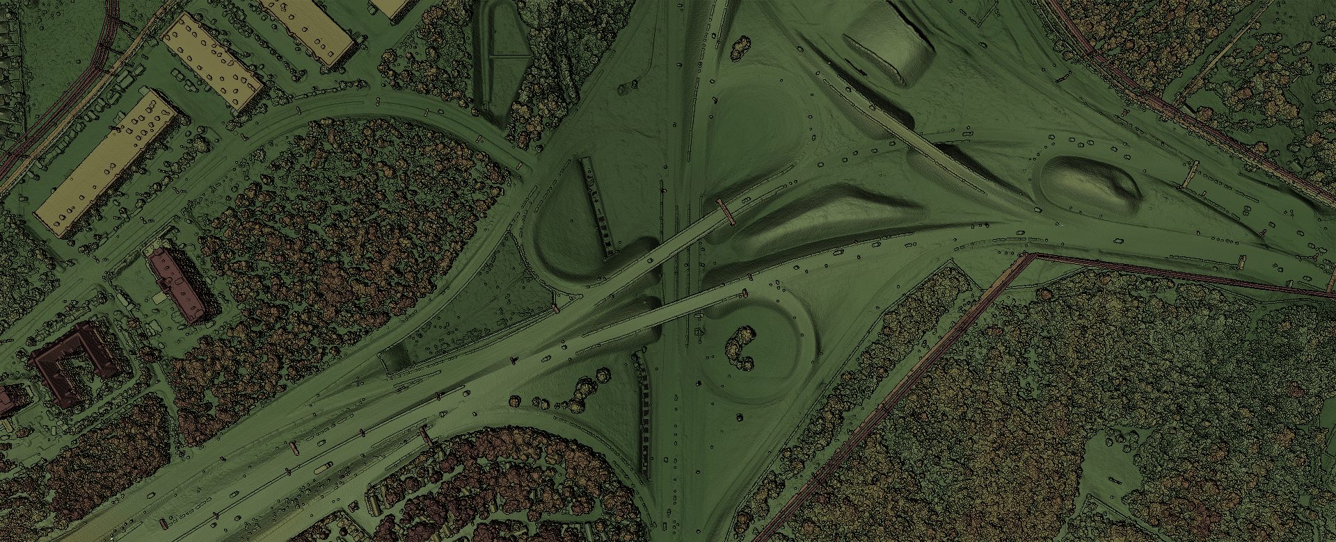
AI point-cloud classification: from millions of raw points to a structured asset map
A survey-grade capture is rich, but on its own it's just millions of points. 4D-360's AI understands what each point is — ground, road, vegetation, buildings, poles and wires — and turns raw scans into organised, GIS-ready assets, automatically.
-
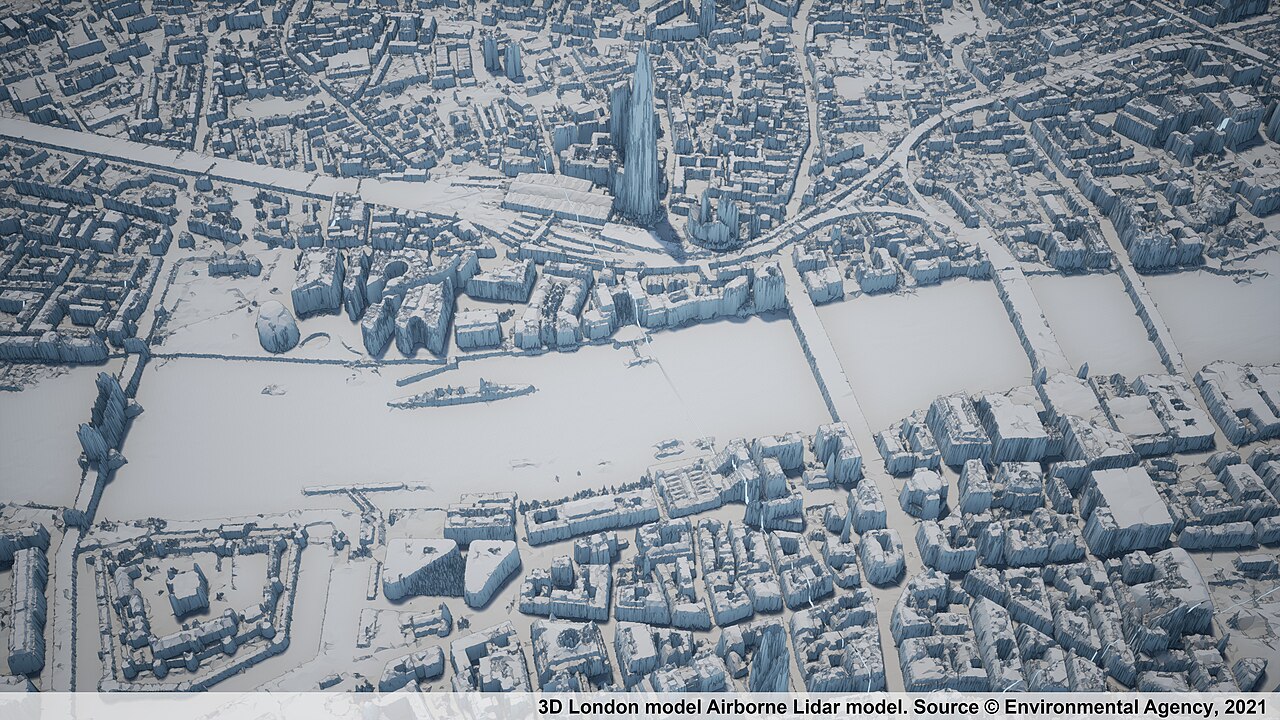
What is a survey-grade digital twin — and how a 360° drive-by makes one affordable
A survey-grade digital twin is a measurable, georeferenced 3D model of the real world. Here's what that means, and how a 360° camera plus GPS produces one at a fraction of mobile-LiDAR cost.
-
One drive, three deliverables: how a single pass becomes a digital twin
Drive a route once with a 360° camera and a multi-band GPS, and 4D-360 returns three things at once — immersive video, a measurable point cloud, and a photoreal navigable scene.
-
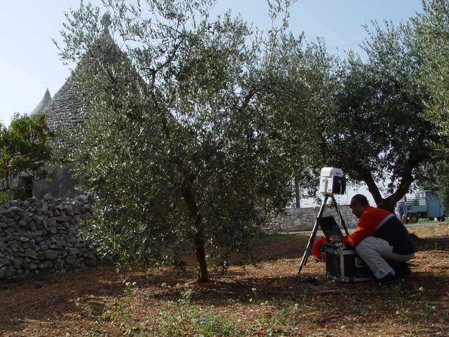
Drive-by capture vs. mobile LiDAR: same survey grade, a fraction of the cost
Mobile LiDAR delivers excellent data — at a price that keeps most organizations from capturing often. Here's how a 360° camera plus GPS reaches comparable roadside accuracy for far less.
-

Measure infrastructure in your browser — no LiDAR workstation required
A measurable point cloud is only useful if people can actually open it. 4D-360 streams the cloud to a browser in an open format, so anyone can measure clearances and dimensions — no proprietary reader, no egress fees.
-
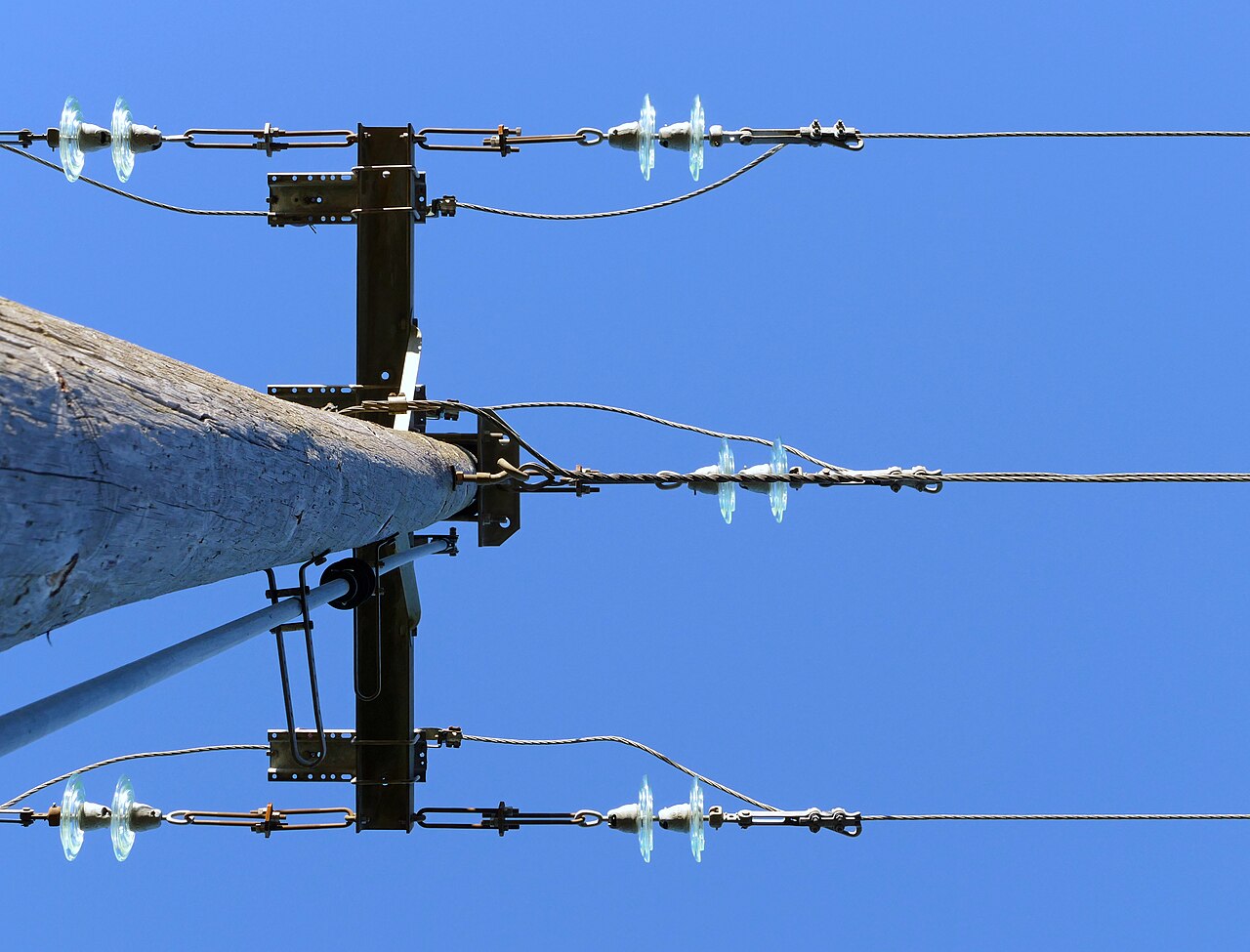
Finding every pole, sign and conductor: AI asset detection across the full 360°
A measurable cloud is only half the value. 4D-360's domain-tuned AI reads the full 360° field of view, detects roadside assets, deduplicates dozens of views into one record, and writes typed features into your GIS.
-
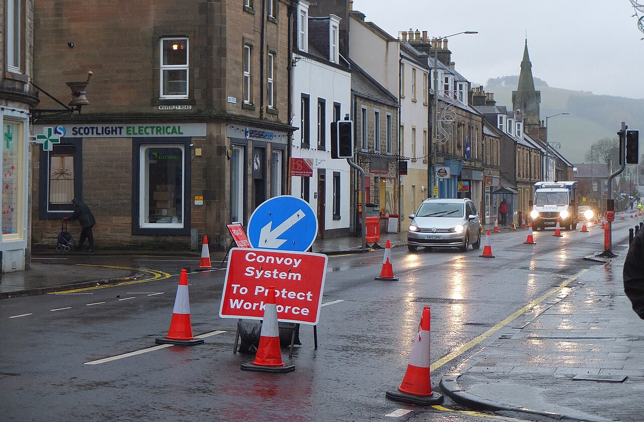
Always current: turning repeat drives into automatic change detection
A digital twin is only as valuable as it is current. Drive the route again and 4D-360 compares captures automatically — surfacing what moved, what's new, and what's gone as ready-to-dispatch work orders.
-
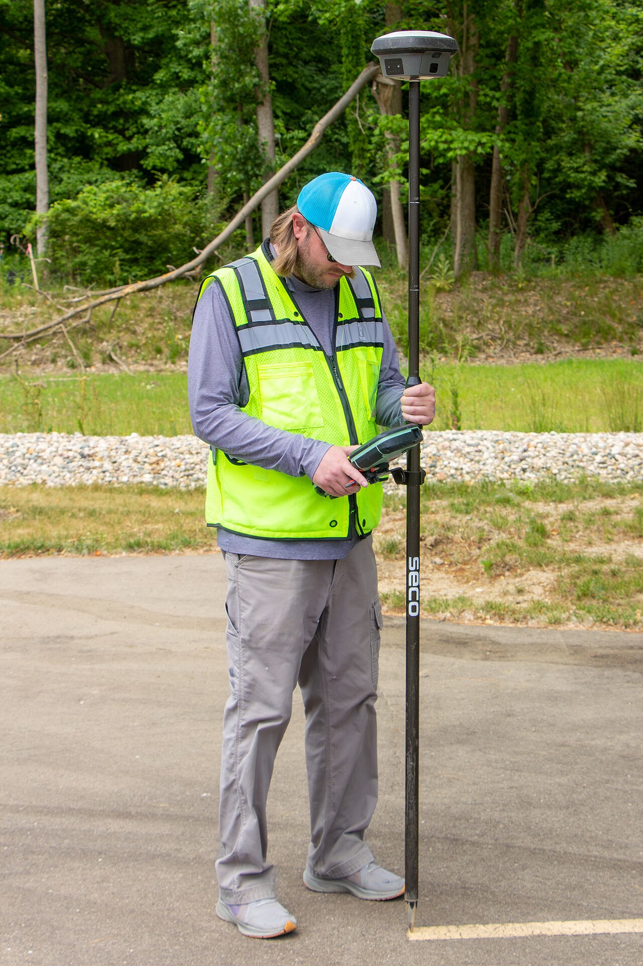
What is spatial conflation — and why your landbase needs it
Legacy GIS landbases arrive riddled with positional errors. Spatial conflation is the rigorous, constrained least-squares process that pulls your data onto the truth — without distorting the parts that were already right.
-

A digital twin for utilities and telcos: pole-to-conductor inventory that matches the field
Power, water, gas, fibre and tower operators all need the same thing: a GIS that matches field reality, asset by asset. Here's how one drive replaces dozens of truck rolls.
-
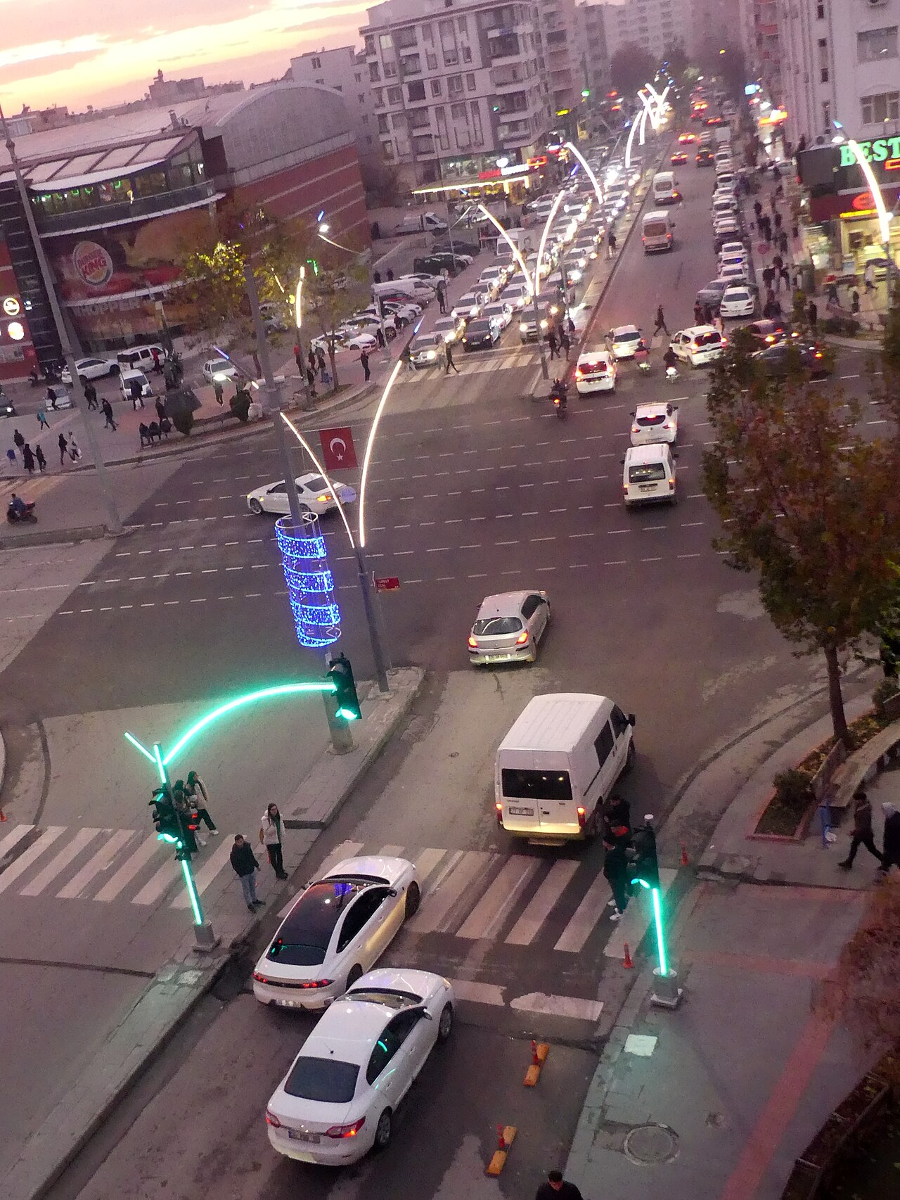
The smart-city digital twin: one drive, every department served
Signs, lighting, street trees, kerbs, markings — a city's streetscape is owned by a dozen departments and known by none completely. A single 360° drive builds a current, queryable twin they can all share.
-
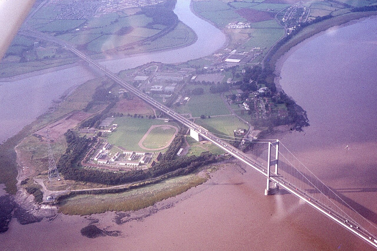
Corridor inventory at traffic speed: signs, markings and clearances without lane closures
Highways and rail corridors need a complete inventory of signs, markings, barriers and clearances — captured without closing lanes or stopping traffic. A drive-by 360° pass does exactly that.
-
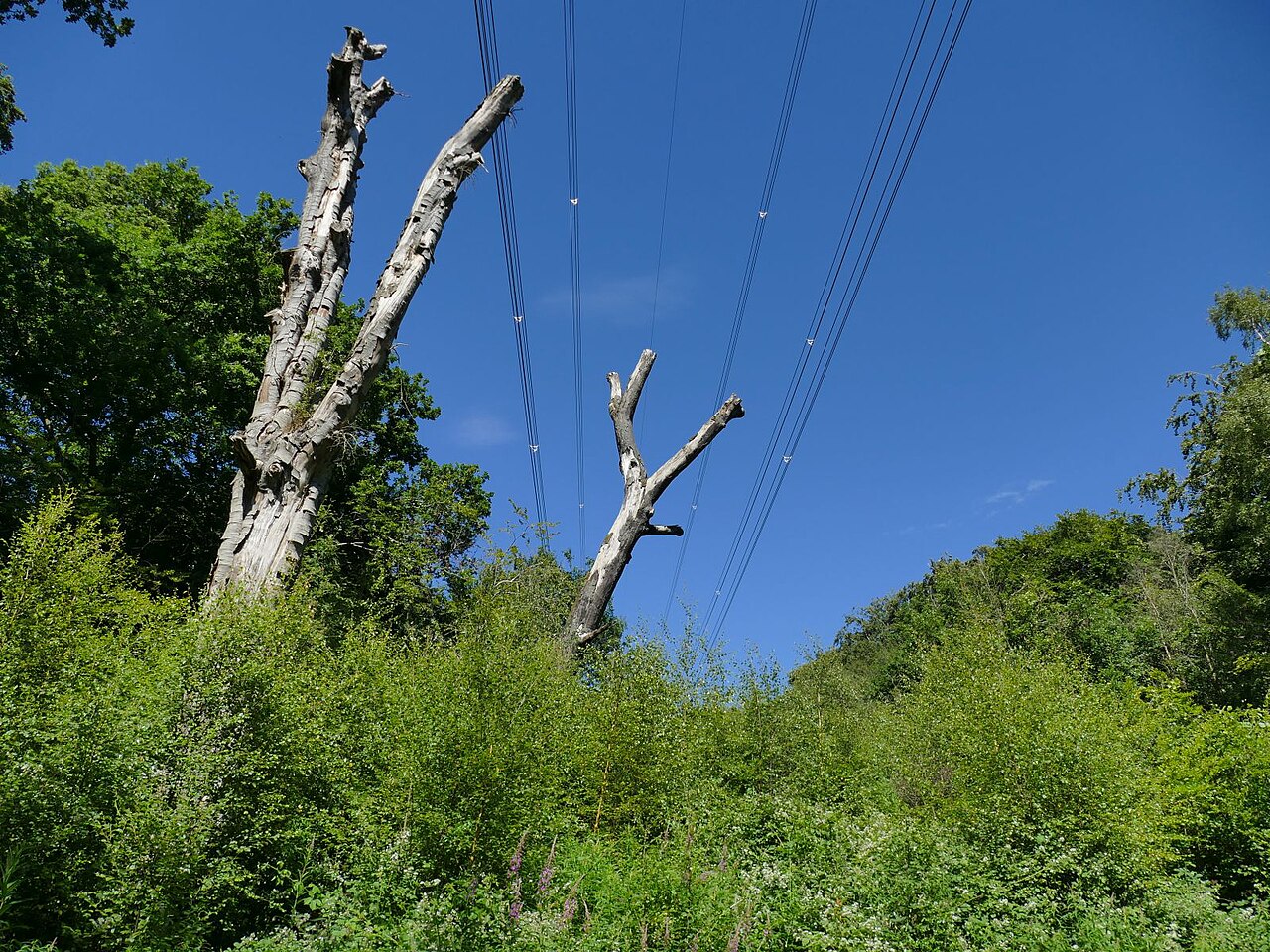
Vegetation management from the same drive: canopy-to-conductor clearance
Vegetation encroachment drives outages, wildfire risk and endless compliance ride-throughs. The same drive that inventories your assets also measures canopy-to-conductor clearance — no extra trip.
-
The aging utility workforce: keeping institutional knowledge from walking out the door
A quarter of the utility workforce is eligible to retire within five years, taking decades of undocumented field knowledge with them. A survey-grade, always-current digital twin turns that knowledge into data anyone can use.
-
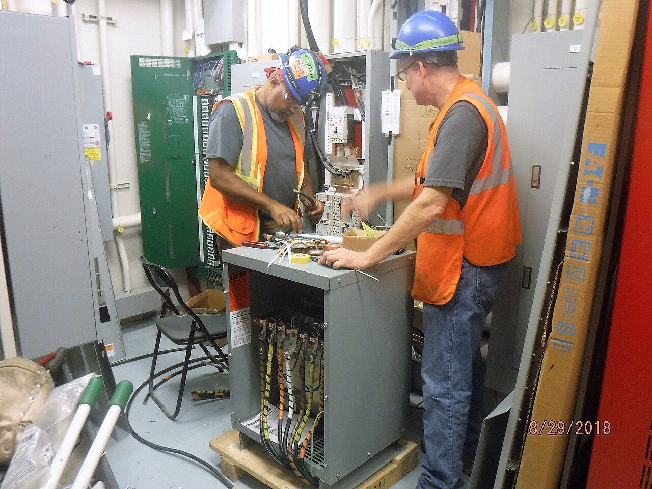
Grid modernization and the cost-recovery gap: regulators fund what they can verify
Utilities must justify modernization spending to regulators who increasingly want proof, not promises. Survey-grade, current as-built data turns a rate case from assertion into evidence.
-

DER integration starts with the map: hosting-capacity analysis needs an accurate network model
Millions of customer-owned solar, storage and EV chargers are turning the one-way grid into a two-way network. You can't run hosting-capacity analysis on a landbase that's wrong — accuracy is the prerequisite.
-
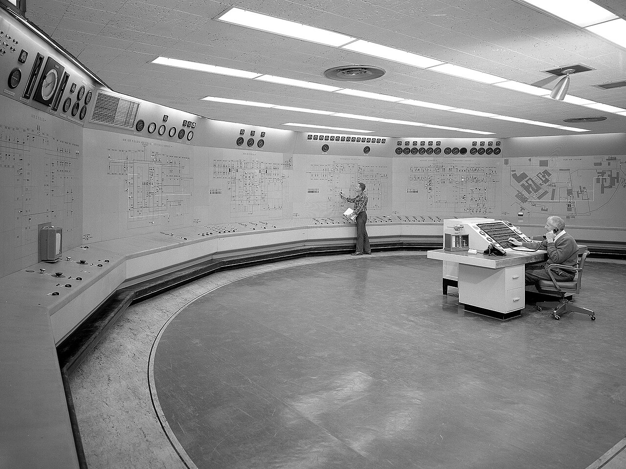
ADMS data readiness: is your GIS good enough to run the grid?
An Advanced Distribution Management System is only as good as the network model it ingests. Connectivity errors and positional drift in the GIS quietly break power-flow and switching — data readiness comes first.
-
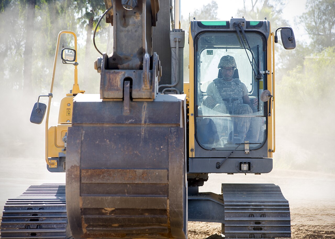
Call before you dig: damage prevention on a spatially-accurate digital twin
Underground utility strikes are dangerous and expensive, and locating depends on records that are often wrong. A spatially-accurate digital twin — viewed in augmented reality in the field — shows crews where assets really are.
-

Wildfire liability and climate risk: the case for current spatial data
Wildfire liability can exceed a utility's market cap. An accurate, always-current digital twin lets you measure vegetation-to-conductor clearance and prove diligence.
-

The top challenges keeping utility executives awake at night
Aging workforce, DER, grid modernization, wildfire and data trust — the strategic worries facing utility leaders all trace back to one accurate, current spatial twin.
-

Why GIS accuracy matters more than ever
Positional accuracy is the foundation every infrastructure decision rides on — and in an age of digital twins and AI analytics, close enough is no longer good enough.
-

The business case for LiDAR-grade data in local government
Survey-grade 3D data once meant six-figure capital outlay — drive-by capture delivers the same accuracy as a shared service, turning a cost centre into measurable ROI.
-
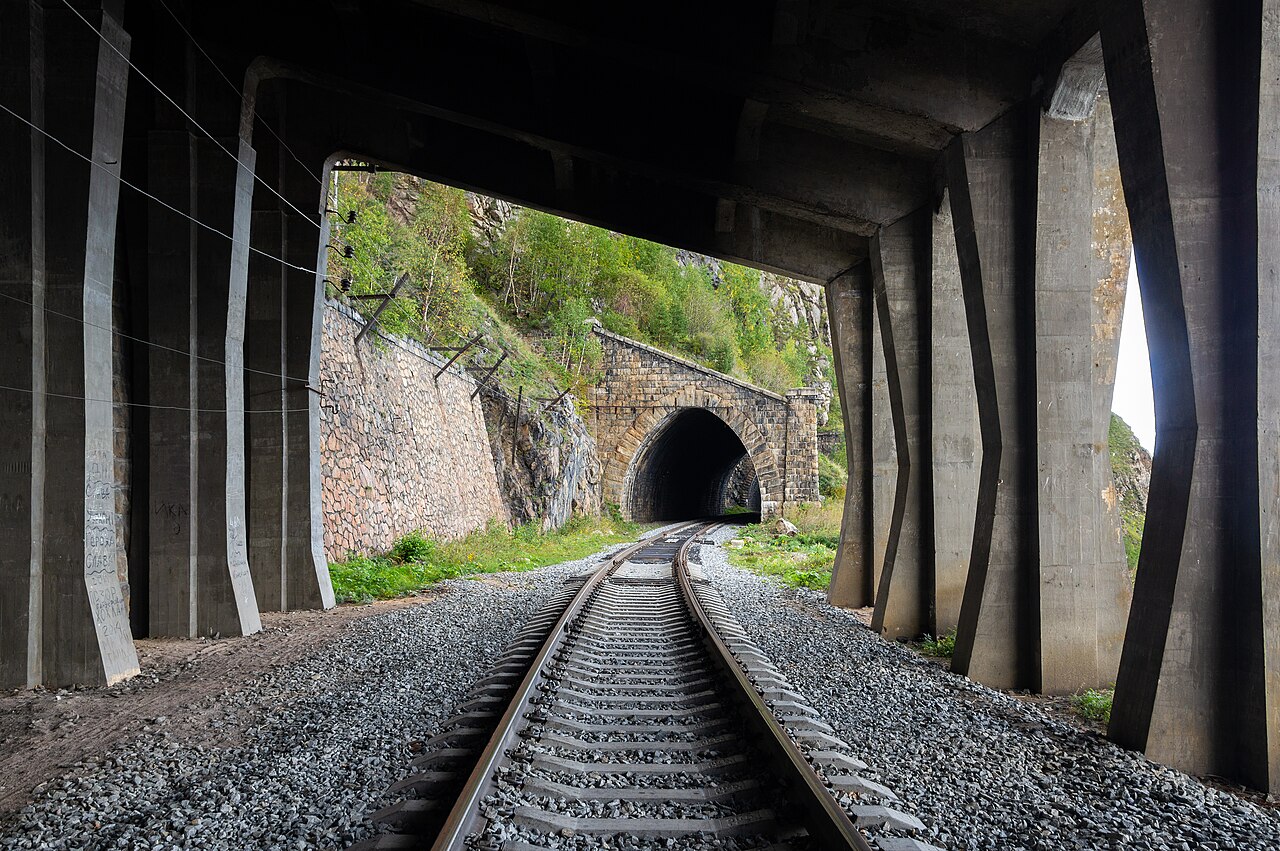
The business case for LiDAR-grade data in transportation
LiDAR-grade corridor data transforms transportation asset management — but the ROI depends on capturing it at traffic speed, without lane closures, and refreshing it cheaply.
-
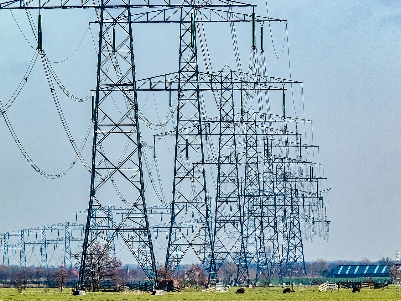
Trace network analysis: why data accuracy must lead your migration
Modern network tracing is only as good as the connectivity and positional accuracy beneath it — so clean the model with conflation and a field-accurate twin before you migrate.
-
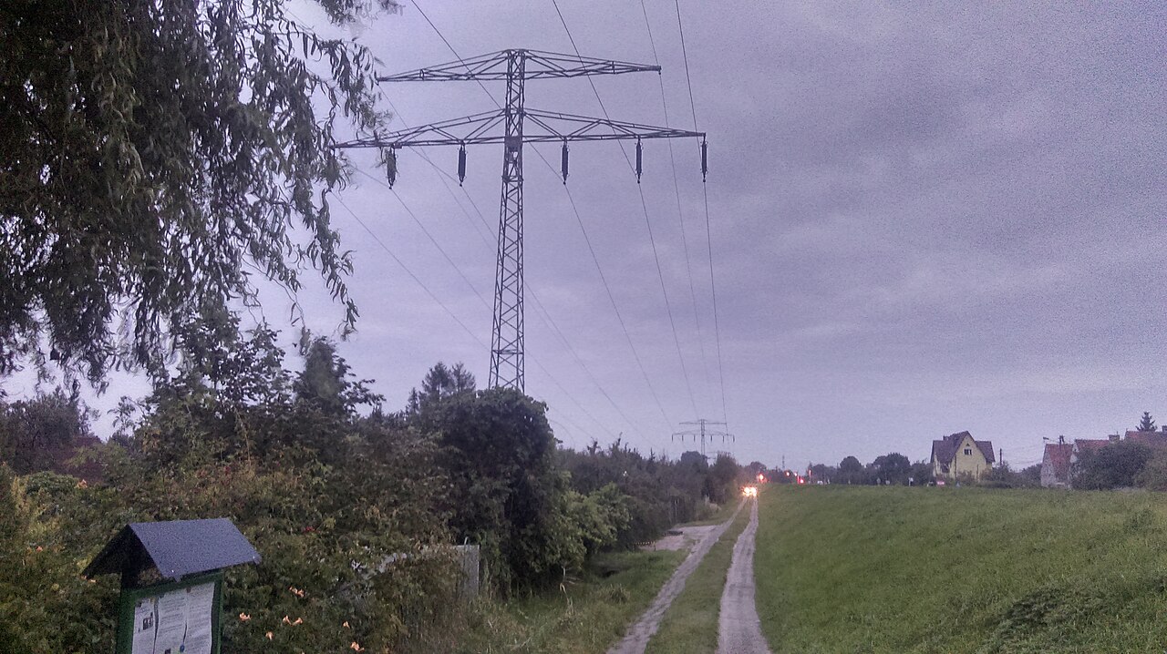
Unequal-gauge wire splicing: a hidden risk in utility networks
Mismatched conductor gauges at splices create hotspots and failures that records rarely capture — a current, field-accurate inventory surfaces them.
-
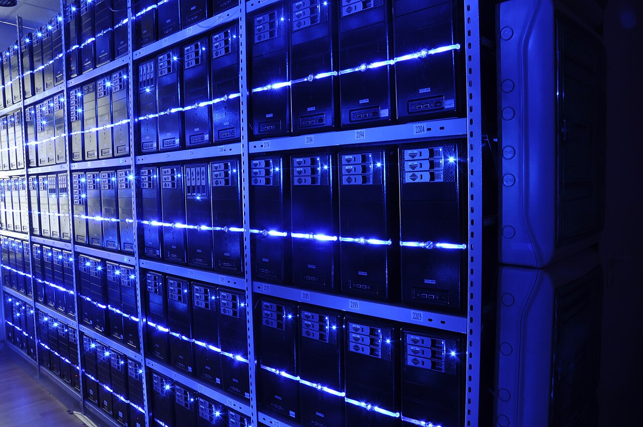
Connecting GIS to the enterprise: EAM, ERP and the field
GIS is the spatial backbone for asset management, ERP and field crews — but the integration only pays off when the map matches reality.
-
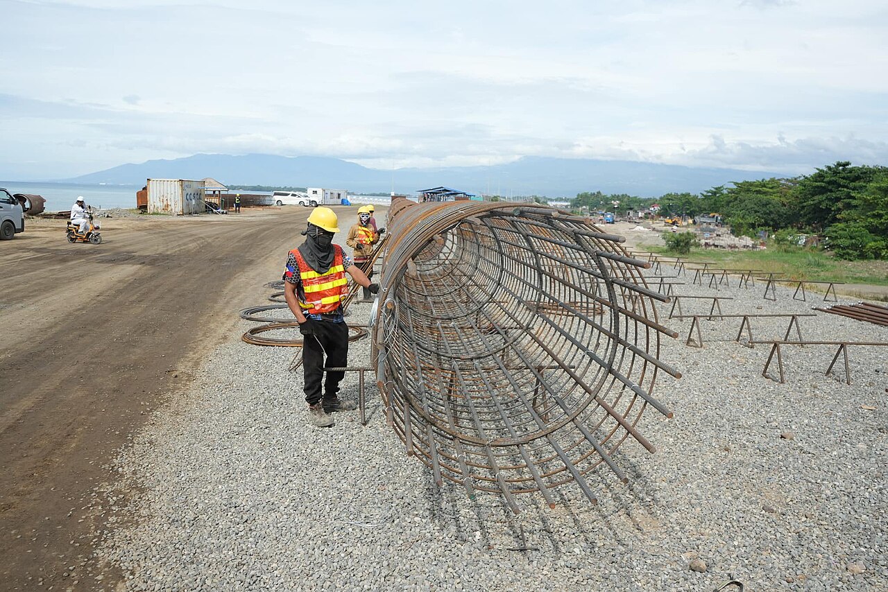
Digital twin technology for GIS asset management
A measurable, always-current digital twin gives GIS and asset-management teams a defensible source of truth for location, condition, and lifecycle — captured in a single drive-by pass.
-

ESG reporting needs infrastructure data you can stand behind
Defensible ESG and sustainability reporting depends on verifiable, auditable data about physical assets — and a survey-grade, always-current digital twin supplies measurements that hold up.